Waterfront Park Interpretive & Wayfinding Signage
Location
Vancouver, Washington
Size
7.3 acres
Team
Susan Mavor, Daniela Pilossof, Benjamin Stone, Faith Moosang, PWL Partnership (Landscape Architects)
Overview
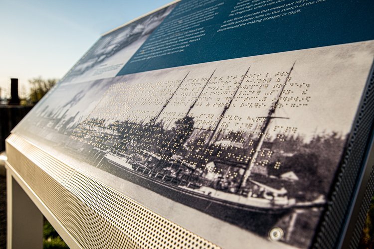
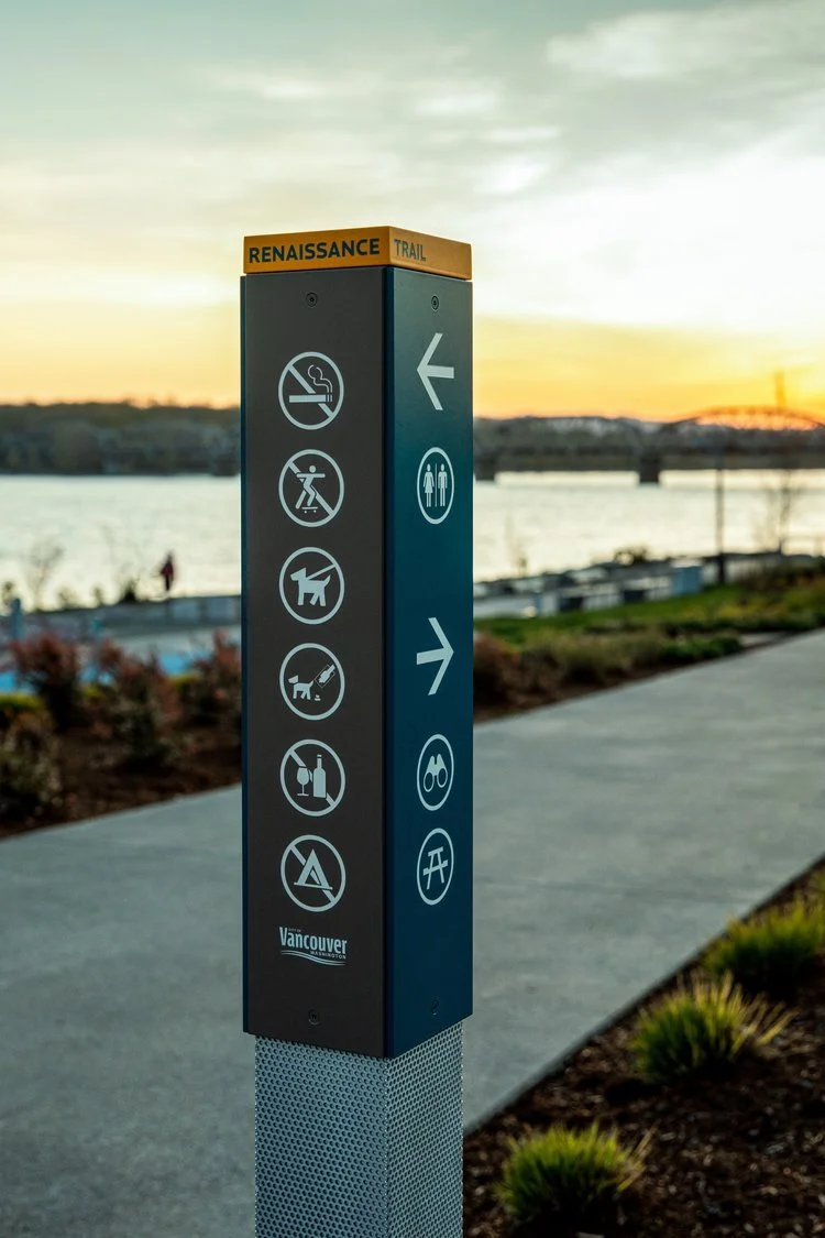
This signage masterplan on the shores of the Columbia River supports a city reclaiming its banks for the community. Until recently, the riverfront at Vancouver, WA was dominated by industry and transportation—pushing leisure and recreation inland. Susan prepared an integrated wayfinding and signage masterplan linking destinations within the downtown and elsewhere along the waterfront, along the Renaissance Trail. Stories and artifacts were literally dug up in the process of building the park, designed by PWL Partnership. In response, Susan’s team prepared an interpretive plan and graphic interpretive panels, supported by archival research by Faith Moosang. The process included consultation with civic and cultural stakeholders. Design is driven by combining visual clues from the long industrial history of the site with other contemporary approaches to railings and street furniture.


